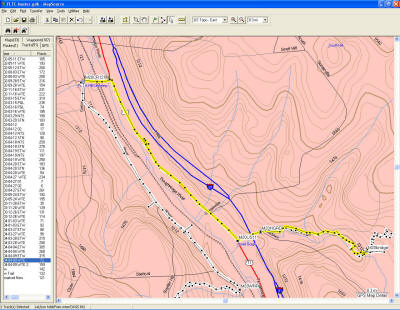
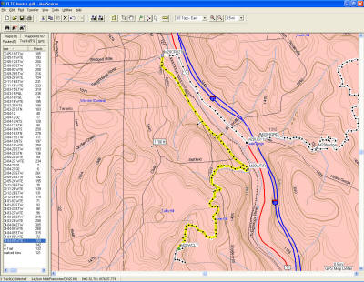
I parked at Blodgett Mills (8.1 MM), then hiked (on the road) back East to Hoxie Gorge, into the woods (11.4 MM) and then back to the bridge (11.8 MM), and turn around. This is where I left off on 3/28/2004. This is 3.7 miles one way, 7.4 round trip, of which 6.6 is road hiking. This went pretty fast, road hiking about 3 mph instead of the usual 2 mph. But I had a nice set of heel blisters by the time I got back to the car.
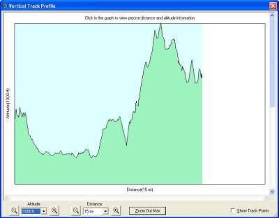
So I ate a little bite, patched my blisters, changed boots, and loaded my pack to hike West to the Woodchuck Hollow Lean-to at 1.9 MM. Of this 6.2 miles, 2.6 was road hike, and mostly uphill. My plan was to spend the night in this lean-to, then day hike out and back as far as I could on Saturday, then go back to the car Sunday.
I got to the side trail to the Cortland Nine Road about 1600. Then I looked on the map, and saw that I should have seen the lean-to on the north side of the trail as I went by, shortly before this side trail. I hiked up the side trail to the road, but didn't see any other trails leading to a lean-to. So back down to the main trail, and backtracked to where I thought the lean-to should be. I had noticed a single orange blaze on the main trail and thought this might mark the side trail to the lean-to.
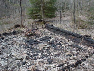
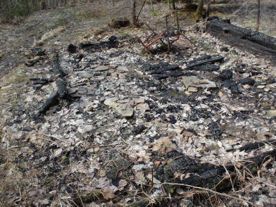
I backtracked to the orange blaze, and thought I could see faint remnants of a trail leading north, up the hill. So I tried it, and I thought I found the lean-to - burned to the ground! There are photos below. All that was left were some large charcoal pieces and lots of long spikes of the variety used for assembled a lean-to. I hiked around a little more but found not other trails, and certainly no other structure, other than a very old privy a little farther east in the woods, which looked almost tipped over.
Well, that's what I get for hiking with old maps. My map was last updated in 9/97. The current map was updated in 4/03. And in between, a new lean-to was built, and the old (the one I was looking for) was burned to remove if for safety reasons. The new lean-to is a little farther West down the trail from where I turned around.
I had to decide what to do. There didn't seem to be another campsite nearby, and I had about 3 hours until sundown. I was pretty tired, and the blisters were not going away. I decided to change socks, eat a quick bite, and head back to the car. I would drop my heavy pack at the Cortland Nine crossing and come back for it in the car, hiking on with just my day pack with essentials. This would speed things up.
So off I went. I got back to the car about 7, and then had quite an adventure trying to find the Cortland Nine Road - at first I thought it intersected another gravel road (Pipeline), but found that it didn't, and had to do some backtracking. These are unmaintained roads, and there were still some snow banks that my car barely made it through. I eventually got to my pack, and then found the Cortland Nine Road is a dead end with a turnaround - so I had to travel back the length of it. I got home about 9:30 that night, after 21+ miles of packing.
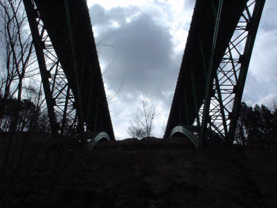
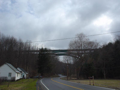 This is the I=81 bridge over Hoxie Gorge, hiking in from US11 to the East.
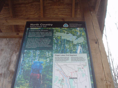
Signs posted at the entrance to the North Country Trail where the trail re-enters the woods.
This is the bridge over the Hoxie Gorge where the trail crosses.
More photos of the I-81 bridge, from the East and from below. It's a pretty impressive structure.
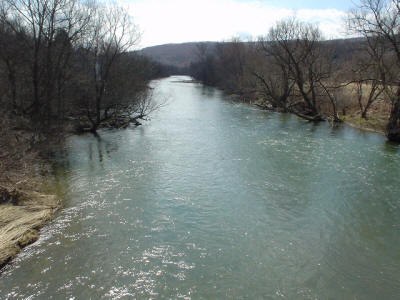
Crossing the Tioughnioga River in Blodgett Mills.
Woodchuck Hollow Lean-To, built in 2002. Vandals? Careless winter campers?
Here's a shot down the pipeline that is crossed, then another photo of the I=81 bridge over Hoxie Gorge from the trail above.
First Leg, Blodgett Mills East to the bridge:
Second Leg, the bridge in Hoxie Gorge West to Woodchuck Hollow Lean-To:
Third Leg, Lean-To back East to the car in Blodgett Mills:
